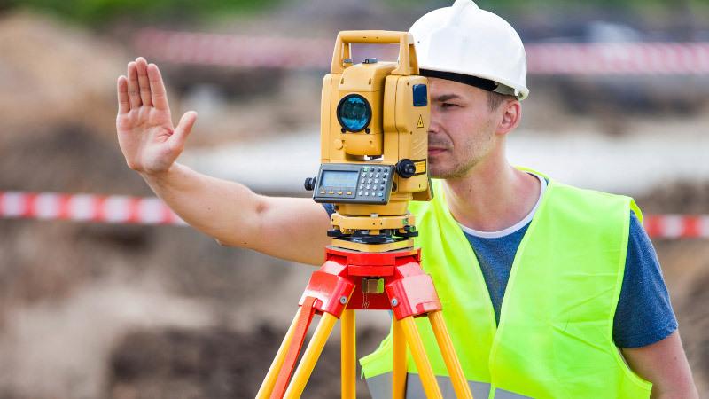
Terrestrial Laser Scanning (TLS) stands at the forefront of modern technological advancements, revolutionizing the way we gather precise spatial data. It’s an innovative method that utilizes laser beams to create highly accurate 3D representations of physical objects and environments. From construction to archaeology, TLS has found extensive applications across various industries due to its unparalleled precision and efficiency.
Understanding the Technology Behind TLS
At its core, TLS employs a laser scanner that emits rapid pulses of laser light towards the object or area being scanned. These pulses bounce back to the scanner, measuring the time taken for each pulse to return, thus calculating distances accurately. The technology involves the use of intricate components like high-resolution cameras, GPS receivers, and advanced software to process the collected data.
Unveiling the Benefits of TLS
One of the primary advantages of TLS lies in its remarkable precision. It captures intricate details of objects or landscapes with exceptional accuracy, allowing for precise measurements and modeling. Moreover, TLS drastically reduces the time and cost involved in data collection compared to traditional surveying methods.
Diverse Applications of TLS
The versatility of TLS extends across various domains. In engineering and construction, it aids in creating detailed models for site planning and monitoring structural changes. Archaeologists use TLS for documenting and preserving historical sites, while environmentalists employ it for monitoring landscapes and forests.
Addressing Challenges and Looking Forward
Despite its advantages, TLS faces challenges related to data processing complexities and limitations imposed by environmental factors. However, ongoing technological advancements aim to streamline these processes, making TLS more adaptable and robust for future applications.
The Path Ahead: Future Trends in TLS
The future of terrestrial laser scanning looks promising with ongoing innovations. Advancements in hardware and software technologies are anticipated to enhance data processing speeds and accuracy, paving the way for new applications in diverse fields.
Conclusion
Terrestrial Laser Scanning stands as a testament to the boundless possibilities technology offers in precision measurement and data acquisition. With its ever-evolving capabilities, TLS continues to redefine the way we perceive and interact with our physical environment.
FAQs
-
Is terrestrial laser scanning safe for the environment? Terrestrial laser scanning emits low-power laser beams, posing no environmental risk.
-
How accurate is terrestrial laser scanning? TLS can achieve millimeter-level accuracy in measurements, ensuring high precision.
-
Can TLS be used indoors? Yes, TLS can be utilized indoors, capturing detailed 3D data of interior spaces.
-
What software is used to process TLS data? Various software options like Leica Cyclone, Trimble RealWorks, and CloudCompare are commonly used for processing TLS data.
-
Are there any limitations to the size of objects that TLS can scan? TLS can capture objects of varying sizes, from small artifacts to large landscapes, depending on the equipment and scanning settings used.


